Flood damage to residential property
What scale of damage is there?
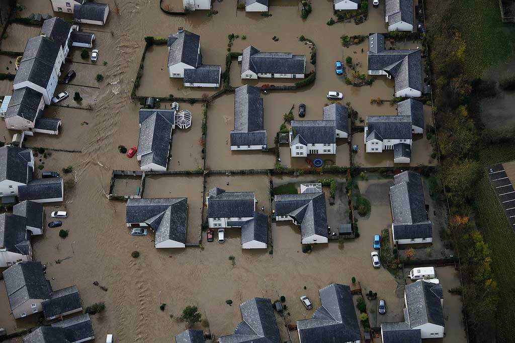
- Residential flood damage is significant in almost all cases of serious flooding in the UK, and remains an area of public and government concern.
- The scale of property damage will vary between events; during the Easter 1998 floods, approximately 2,500 households experienced flooding, whereas in Autumn 2000 this figure was nearer10,000 and 6,000 for the Summer 2012 floods. The summer 2007 event led to the flooding of some 40,000 residential properties.
- For most events, damage to residential property is the largest single contributor to total damages (approximately 40% for Summer 2007).
- Approximately 5 million properties in England and around 350,000 in Wales are at risk of flooding.
What types of ‘things’ get damaged?
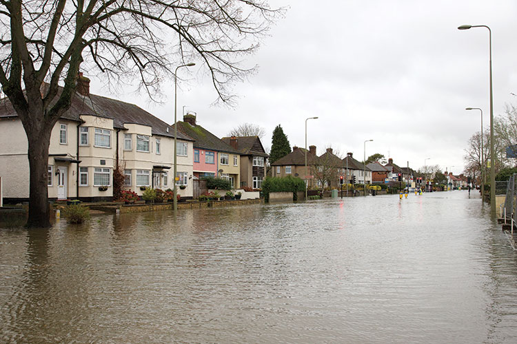
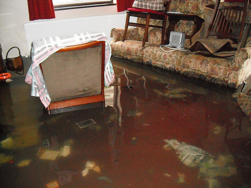
- Damages include the losses resulting from the flooding of a property (the building fabric and household goods and the cost of cleaning and drying the property post-flood) and the loss of vehicles.
- Vehicle loss can be especially prevalent during flash floods (such as those in Boscastle, Cornwall in 2004) or coastal events (such as New Brighton, Merseyside in 2013) where warning can be limited.
- We should also consider the impacts on the population, such as the risk to life, the loss of memorabilia and irreplaceable items or pets, the health impacts, the loss of community or of confidence in authorities and services, or the worry of future flooding.
- Residents are likely to face the additional cost of evacuating from their properties, which is often necessary for several months. The ‘Multi-Coloured Manual‘ (MCM) 2013 has shown that for a typical flood event, the average duration of evacuation is nearly 6 months.
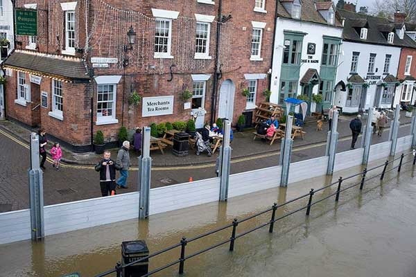
- Flood warnings and the use of property-level resistance and resilience measures (such as flood barriers, non-return valves fitted to drains, raising electrical sockets above the anticipated floodwater height or replacing carpets with waterproof tiling) may help to reduce flood damages. These mitigation measures need to be included in potential damage assessments.
How should damages be assessed for inclusion in cost-benefit analysis?
Property
- In the UK, the vast majority of residents live in a terraced, semi-detached or detached house or a flat or bungalow. The age and style of these properties vary, as does the building fabric and contents.
- The potential damages associated with a certain flood depth inside a building are calculated using a depth-damage relationship. This is a chart or ‘curve’ where the increasing damage to a property is shown against the increasing depth of a flood. These curves are available from the MCM-Online.
- We can assess the likely cost of damage to all of these property types from floods in the future, taking into consideration the age of the property.
- The potential damage values provided are for the typical sized property in the UK, but also in pounds per square metre (£/m²) to account for regional and local variations in size.
- The duration of the flood will usually have an impact on the damage caused, and so the data available takes into consideration different flood durations. Other residential property related flood losses Include:
Vehicle damages
- The MCM 2013 provides methods for calculating the likely damages to vehicles from flooding by determining the critical height above road surface level at which damage will occur and calculating the average value of a vehicle in the UK.
Heath impact
- Although we know that flooding can affect people’s health, it is hard to put an economic figure on health effects.
- Public Health England (pdf 164kb) (formally the Health Protection Agency) and the Environment Agency (pdf 160kb) offer guidance on these ‘intangibles’ associated with flooding.
- The Department of Environment, Flood and Rural Affairs (DEFRA) provide an estimated figure (pdf 118kb) for the health impacts per flooded household of approximately £260 (updated to 2014/15 prices) for the average flood event.
Temporary and alternative accommodation
- There is a link between the depth of flooding and the amount
of time people have to leave their homes for whilst repairs are done. It is possible to estimate the approximate costs of evacuation to each flooded household for different flood scenarios and durations. The Professional Section of the MCM-Online provides these figures at three different levels of complexity. To calculate the costs associated with evacuation, it is important to consider: - the temporary accommodation (hotel, B&Bs etc in the immediate aftermath);
- the alternative accommodation (longer-term rental of accommodation);
- the additional spending by those evacuated on pre-prepared food and travel to/from their place of work or the flooded property;
- the loss of earnings from needing to take time off work.
Flood damage to non-residential property
What scale of damage is there?
- There are approximately 200,000 Non-Residential Properties (NRPs) in England and Wales at risk from river or coastal flooding.
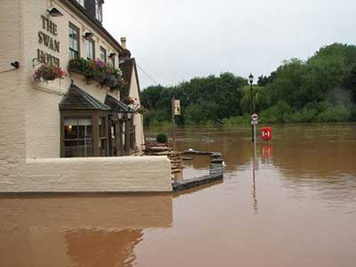
- NRPs include high street buildings (traditional retail outlets, banks, public houses); traditional-style buildings (offices, schools, libraries); industrial-style buildings (warehouses, supermarkets, sports centres, manufacturing plants); modern framed buildings (office blocks, community centres); health and religious buildings (hospitals, churches); and others (car parks, electricity sub-stations, playing fields).
- Flood damages to NRPs can form a significant part of the total bill following a flood event. For instance, impact to business represented 23% (£740 million) of the total estimated economic costs of the summer 2007 floods in England.
What types of ‘things’ get damaged?
- The flood impacts on NRPs are of two kinds: the loss of assets and contents following the flooding of the building and the losses following the disruption of activities.
- Direct damages occur to six components: building structure and fabric, building services, fixtures and fittings, clean-up costs, moveable equipment and stock.
- The disruption may be induced by the flooding of the property and the time required to repair and to replace the assets, but they may also be caused by external factors (loss of water or electricity supply, of communication networks, of goods supply and so on).
- As for residential properties, the use of property-level protection measures and the existence of flood warnings may help businesses to reduce the damages to their properties, and it is therefore important to estimate the damage-reducing effect of these measures.
How should damages be assessed for inclusion in cost-benefit analysis?
- As the variability between NRPs is so vast (consider, for example the variance between high street shops, supermarkets, hotels, banks, warehouses, factories, school and hospitals) the use of depth-damage curves (i.e. the potential damages associated with a certain flood depth inside a building) for different types of NRP are required to reflect this variability.
- These depth-damage curves are then averaged into the main property types: Retail, Offices, Warehouses, Leisure and Sport, Public Buildings and Industry.
- All depth/damage data for NRPs are in pounds per square metre (£/m²), so the area of the ground floor space of the sub-sectors and categories is required.
- The function and size of unconventional or unique properties should be determined, in the first instance, using an online verification tool such as Google Street View and confirmed with a site visit.
- Obtaining accurate data on indirect flood losses is difficult. In an economic appraisal indirect losses should be limited to the losses of business to overseas competitors (national scale point of view) and to the additional costs of seeking to respond to the threat of disruption. It is very difficult to provide standard data for assessing these indirect flood losses and specific case surveys will usually have to be carried out.
What is in the Professional section of the website?
- Methods for conducting Overview, Initial and Full-scale studies on NRP losses;
- Depth-Damage curves for 14 sector types of NRP;
- Depth-Damage curves for short and long duration river and coastal flooding with and without a flood warning;
- Depth-Damage curves with high, indicative and low susceptibility figures for better considering uncertainty in the losses;
- Methods to assess property-level protection measures;
- Tools and methods for conducting a site survey.
Appraising the ‘Other’ losses from flooding
What scale of damage is there?
- The losses experienced due to the disruption of services and transportation networks will have impacts outside of the flooded area as well as within it, and in some cases the impacts may be geographically far reaching.
- The summer 2007 floods caused widespread impacts to infrastructure in England and Wales. For instance, the closure of the Neepsend electricity sub-station in Sheffield caused a loss of power to a population of around 40,000 people.
- The closure of the Mythe water treatment plant left a population of 350,000 people without water for over two weeks.
- Environment Agency data suggest that over 18,000 electricity assets (7 per cent of all national assets) and 1,400 sewage treatment-related assets (25 per cent of all national assets) are at moderate to significant flood risk in England and Wales.
- In addition, many vulnerable groups are located in at-risk areas, including over 1,000 care homes (with 30,000 residents), and 1,600 schools (7 per cent of all schools nationally) with a total of 500,000 pupils.
What types of ‘things’ get damaged?
There are primarily three different types of damage or loss experienced:
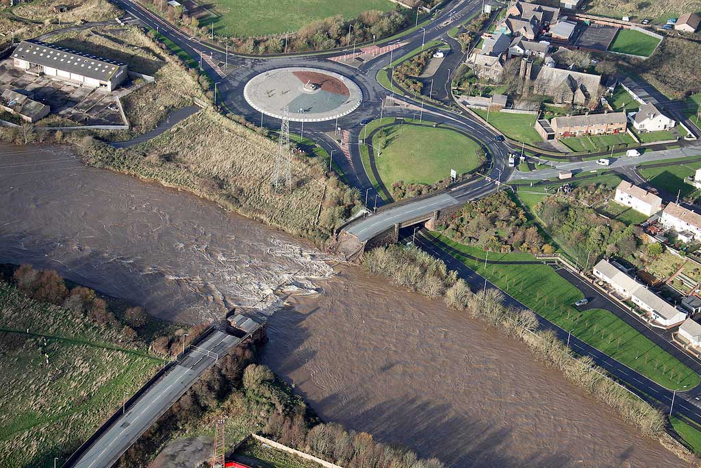
- The damages from the flooding of an infrastructure asset or building;
- The wider economic aspects caused by the disruption to services (both within and outside the areas directly flooded);
- The broader, less tangible, impacts – how the losses of these services or networks impact upon those living both inside and outside the flood risk zone in terms of disruption to life, well-being and long-term health impacts.
Answering “Yes” to any of the questions below may indicate that it is worth considering the likely potential flood losses. Is there in the area at risk of flooding:
- A major road (a motorway or major trunk road)? How dense is the road network; are there many alternative routes?
- A primary or grid electricity substation? These are the larger stations that distribute power.
- A sewage or water treatment works?
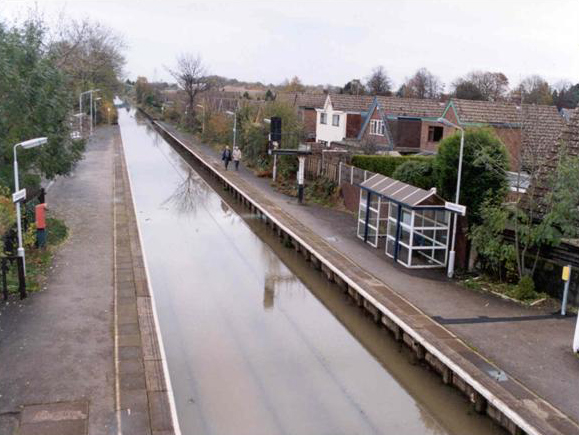
- A railway line or rail station likely to suffer from flooding?
Estimating the potential benefits of preventing ‘other’ losses involves exploring those losses from the flooding of, primarily, infrastructure assets:
- electricity substations
- roads
- schools
- water treatment plants.
- The losses due to the disruption of services and transportation networks will often have impacts outside of the flooded area as well as within it.
- In some cases, therefore, the impacts may be geographically far-reaching.
FHRC has developed methodologies and data for assessing the wider economic aspects of flood events including the disruption to:
- utilities
- other networks
- public services, and:
- the marginal costs of emergency response
The assessment is based on a series of steps:
- Identifying the assets at risk;
- Determining the criticality and likelihood of flooding;
- Prioritising the assets with the use of a risk matrix;
- Assessing the impact of resistance and resilience measures and assessing the potential disruption costs.
What scale of damage is there?


